The original bridge at this location was an 1887 wooden bridge.
That bridge connected Latsch Island to Wisconsin, serving the
village of East Winona. The High Bridge was opened in 1892, and
the wooden bridge became part of the overall river crossing.
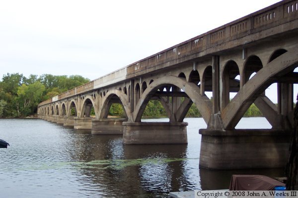
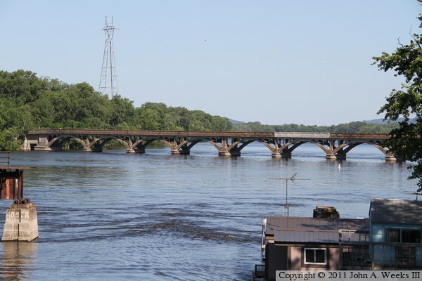
By 1917, the old wooden bridge needed to be replaced. This
concrete arch bridge that we see in these photographs was built to
replace the wooden bridge. The Wisconsin end of the bridge remains
much like it was when new. The Minnesota bridge ended about 20 feet
off of the ground, where it connected with the trestle part of the
High Bridge.
In 1942, the new Main Channel Bridge opened. The old concrete bridge
would not work for the new bridge since the concrete bridge and the
High Bridge formed a 90-degree turn, and highway engineers very much
wanted to eliminate that right angle turn. As a result, a new North
Channel Bridge was built. The High Bridge was salvaged because steel
was in high demand for the war effort. But workers were in short
supply, so the concrete bridge was not torn down.
After the war, in 1947, the Minnesota end of the concrete bridge was
modified so the entrance formed a ramp. This eliminated the mid-air
dead end, and allowed traffic to access Aghaming Park. The bridge was
more or less forgotten to all but the local houseboat residents. The
bridge deteriorated until it had to be closed to traffic in 1996.
The City Of Winona once again considered removing the old concrete
bridge. But citizen involvement saved the bridge, and funds were
raised to fix up the structure. The newly repaired John A. Latsch
Wagon Bridge reopened to vehicles in 2004.
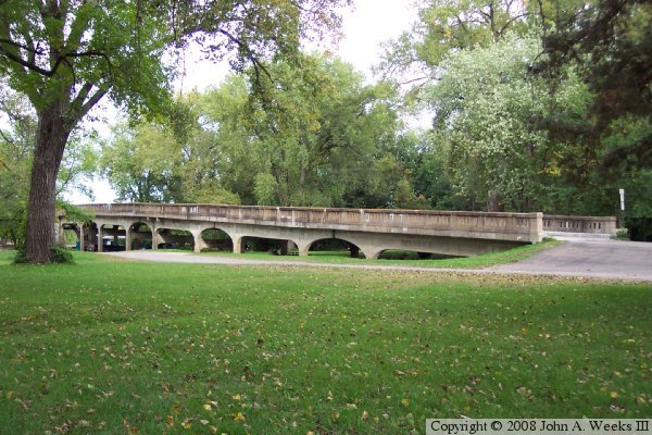
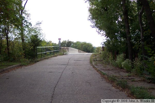
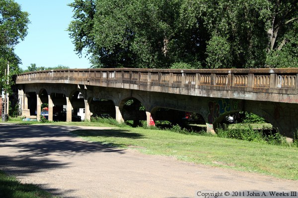
The photo above shows the Minnesota side entrance to the wagon bridge.
The arches had been cut down so the bridge deck would form a ramp. The
photo below is looking directly towards the Minnesota end of the bridge.
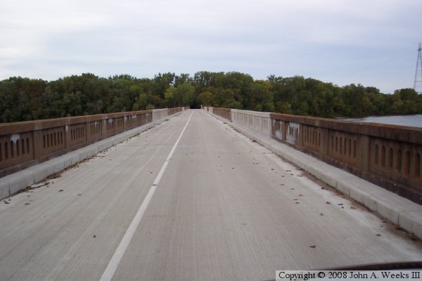
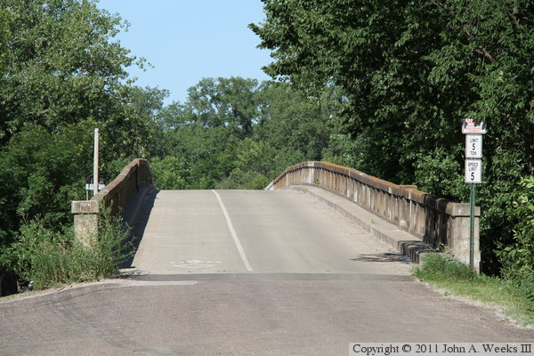
The photo above shows the deck of the bridge. The left lane is a 5 foot
wide bicycle lane and walkway. The right lane is a 17 foot traffic lane.
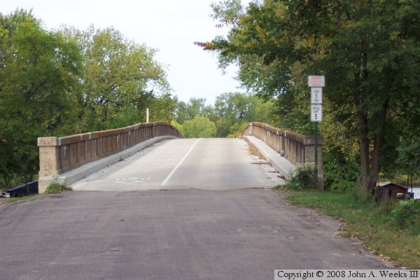
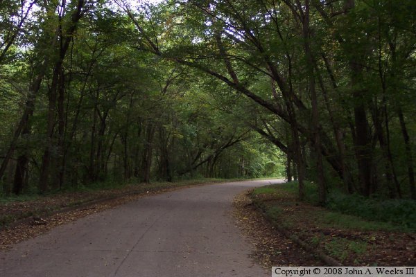
The photo below is the Wisconsin side approach. It is unmodified, and
the pavement dates back to the WWII era. Notice the overgrown sidewalk
on the right hand side.
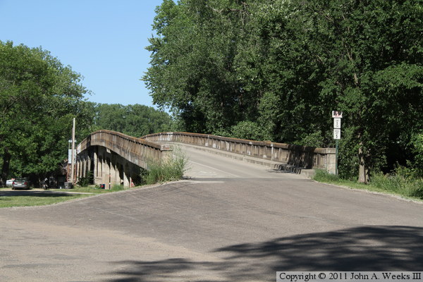
The photo above shows the approach road on the Wisconsin side of the
Wagon Bridge. The pavement is in very good condition, as is the curb
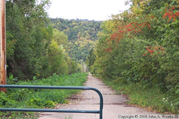
and gutter work. The bottom photo shows the approach road as it runs
north-east towards WI-35, the Great River Road on the Wisconsin side.
The approach road is closed off at this point. The power line feeds a
relatively large marina just to the north of the approach road.
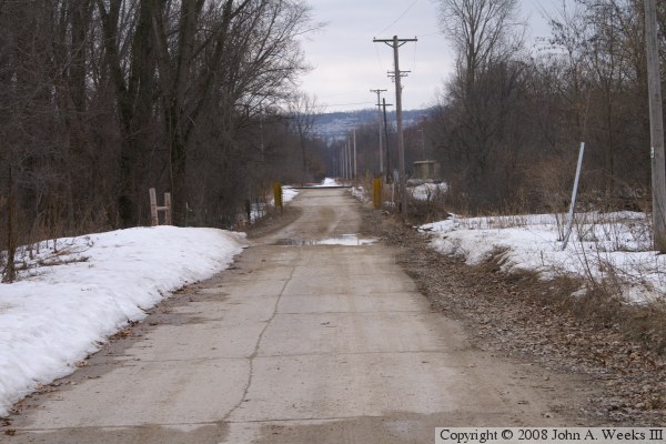
Above is the Wisconsin end of the Wagon Bridge crossing, looking to the
west. The snow has been plowed since the BNSF Railroad has a building
just to the right of the roadway. The BNSF track is visible in the
photo. The CN&W river crossing used to cross the BNSF right at
the roadway. That must have been a sight to see given the amount of
rail traffic, a train every 12 minutes or so, and the trains crossing
into Winona, must have blocked this roadway a good portion of the day.
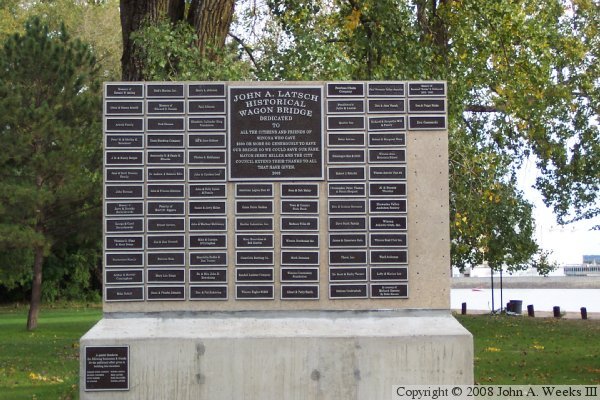
The photo below is the marker to commemorate the donors who made the
Latsch Bridge rehab possible.
The photo above is looking southeast from the North Channel Bridge, part
of the highway crossing at Winona. The photo below is the southwest end
of the bridge on the Minnesota side of the north channel of the Mississippi
River.
These two photos are views of the southwest end of the John A. Latsch
Wagon Bridge. The photo above is the ramp leading up to the river channel
crossing. The photo below is a side view of the ramp portion of the bridge.