| Highways, Byways, And Bridge Photography |
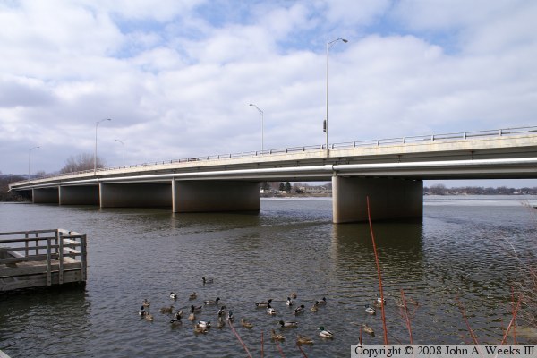
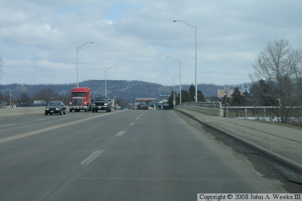
Clinton Street Bridge
Clinton Street Mississippi River Crossing At La Crosse
La Crosse, Wisconsin
|
• Structure ID: |
NBI B32007700000000. |
|
• Location: |
River Mile 700.3. |
|
• River Elevation: |
631 Feet. |
|
• Highway: |
Clinton Street. |
|
• Daily Traffic Count: |
10,700 (2003). |
|
• Bridge Type: |
Concrete Girder, Concrete Deck. |
|
• Length: |
596 Feet. |
|
• Width: |
53 Feet, 4 Lanes. |
|
• Navigation Channel Width: |
Non-Navigable. |
|
• Height Above Water: |
|
|
• Date Built: |
1981. |
Clinton Street, also known as County Road B, is one of two access points
to French Island, a large island in the middle of the merged Mississippi
River and Black River. The first mile and 7-tenths of the Black River
channel is navigable, but the navigation channel ends at this bridge.
Small craft, however, have no problem passing under the bridge.
|
