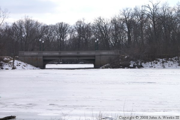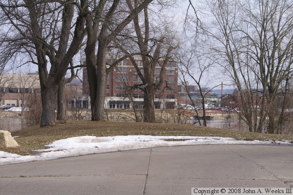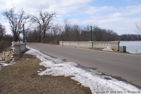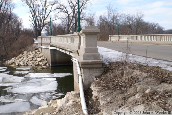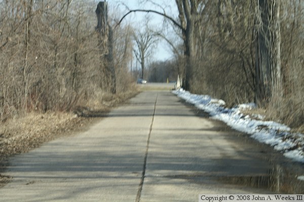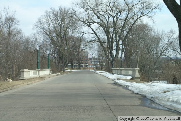
One photo below shows where the roadway ends at the main channel of the Mississippi River, while another photo shows the pavement of the old river crossing looking west towards Minnesota. This was once the main highway river crossing for La Crosse. An automobile struck the main span bridge pier in 1935, resulting in that bridge collapsing. It was replaced by the Cass Street Bridge, which opened in 1940.

|
John A. Weeks III
Friday, July 17, 2026, 3:39:02 PM CDT |
|||
| Home | Photo Tours | Rail Fan | 12 Easy Steps |
| Aviation | Spacecraft | Highways & Bridges | About The Author |