| Highways, Byways, And Bridge Photography |
The I-35W Bridge Detour
Photo Tour Of The I-35W Bridge Detour
Traveling Northbound Via 10th Avenue

The official marked detour for I-35W following the August 1, 2007, bridge
disaster followed I-94 and MN-280. While the marked detour was an
excellent option, it was also fun to use the old highway and cross the
river on the 10th Avenue Bridge. This allowed sidewalk superintendents
to check out the progress on the building of the new Saint Anthony Falls
Bridge. This path followed I-35W to the Washington Avenue exit,
Washington Avenue to 10th Avenue, a brief jog onto 4th Street, and then
back onto I-35W.
In this photo tour, we follow that path from south to north, noting
interesting signs and highway features along the way.
Note—these materials are covered by copyright and may not be
used without written permission.
The photo above is the start of our journey. We are headed northbound
on I-35W just south of downtown Minneapolis. I-35W consists of 4 lanes
at this location. The left 2 lanes will continue into downtown
Minneapolis about a mile and a half up the road. The right two lanes
are for I-35W through traffic, and for traffic headed towards I-94
in either direction. The next big green sign up the road informs
drivers which lane to get into for east or west I-94.
The photo below is taken near the Norwest Mortgage headquarters, which
is the old Honeywell HQ Complex. The big orange sign is our notice
that I-35W is closed, but traffic is still allowed as far as Washington
Avenue.

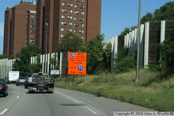
The photo above shows another sign for I-35W being closed. This sign
informs traffic that they can follow a detour using I-94 to the east.
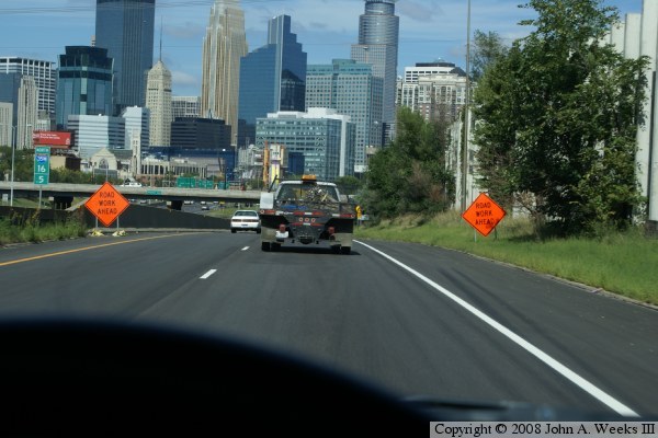
The photo below is a view from a small hill just before entering the
downtown Minneapolis commons area where I-35W and I-94 commingle. The
two orange signs alert drivers to road work ahead. In this case, there
is often one, and sometimes two lanes closed in the commons area. This
small downgrade has one of the best views of downtown that exists from
a public location.
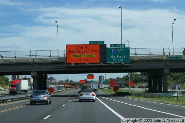
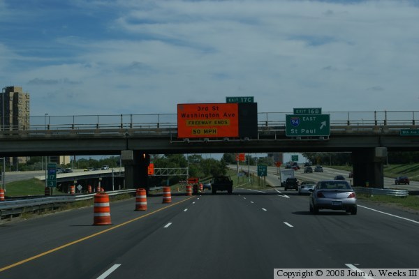
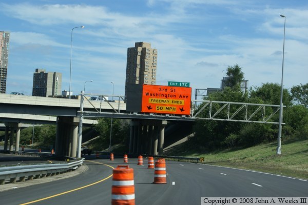
These two photos are views of traveling eastbound on I-35W in the downtown
commons area. The big orange sign in the photo above warns that the
freeway ends in one-half mile. The big orange sign in the photo below
warns that the freeway ends, but that motorists can continue onto the
3rd Street and Washington Avenue exits. Motorists who wish to take the
MN-280 freeway detour would exit to the right onto I-94.
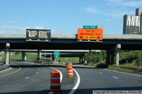
In these two photos, we continue northbound on the exit ramps from I-35W
to 3rd Street and Washington Avenue. These big orange signs repeat
information that we have already seen, but with a lower suggested speed
in the photo below.

In the photo above, we pull up to the stop light at the top of the
Washington Avenue exit ramp. We will turn right onto Washington Avenue,
then left after a block to stay on Washington as we head towards the
10th Avenue Bridge. While at this stop light, we can see the check
point for one of the entrances to the bridge project. When completed,
this ramp will connect Washington Avenue directly to I-35W headed northbound.
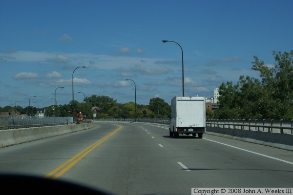
The photo below is a view of the 10th Avenue Bridge. This was a 4 lane
street prior to the bridge disaster. It was repainted with 2 lanes going
north and one lane headed south. This allowed room for bicycle lanes and
a spectator viewing area to watch construction of the new bridge. The
10th Avenue Bridge has an interesting S curve shape.

The photo above is a view from the north end of the 10th Avenue Bridge.
The lot on the far left is the old Hardees location. It was taken over
as a staging area for the bridge project. The collection of barrels
and barricades is to keep vehicles from hitting the wall of K-blocks
that project the bicycle path and spectator area. The cross street at
the intersection is SE University Avenue. The buildings are fraternity
houses for students who attend the University of Minnesota.
The photo below is the bottom of the entrance ramp from SE 4th Street
to I-35W northbound. The barricades on I-35W mark the north end of
the bridge project, and the spot where the highway is closed. The
bridge contractors used this area for bringing in materials from
commercial vendors to be used on the north side of the river.

The photo above is a view from I-35W northbound. This section of the
freeway was virtually unused during the time that the bridge was closed.
It was like having your own private freeway.
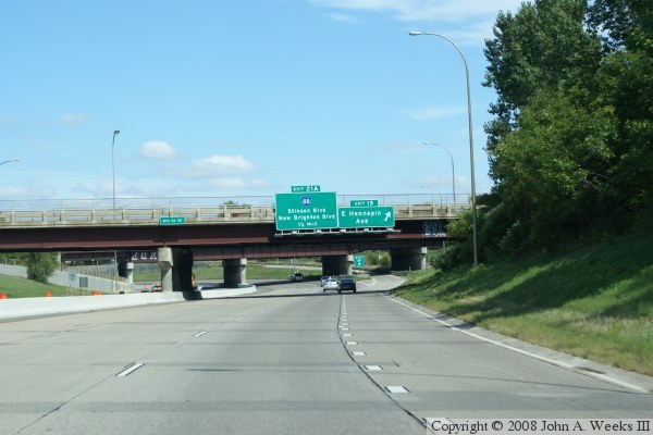
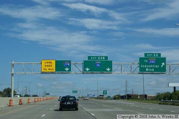
The photo below is approaching the location where I-35W and MN-36 split
to allow MN-280 traffic to join in the middle of the freeway. By joining
in the middle of the freeway, MN-280 traffic does not need to make
multiple lane-changes to get to either I-35W or MN-36. I-35W normally
has 2 lanes through this split, but one lane is closed to allow MN-280
to have a 2nd lane. We see the yellow warning sign on the gantry as our
first indication of this change.
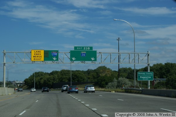
The photo above is the final warning that the inside lane is ending.
In the photo below, we are at the point where I-35W and MN-36 split.
MN-36 will cross an overpass. MN-280 northbound will pass under that
overpass and appear in the middle between I-35W and MN-36. We see the
yellow stripe on the edge of the road where one lane of I-35W has been
closed.
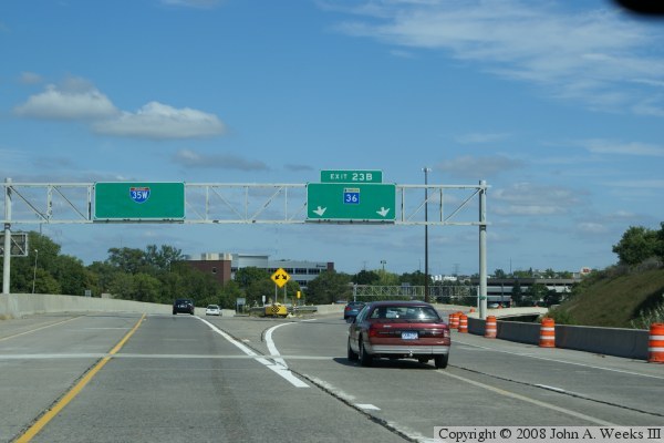

In the photo above, our single lane of I-35W is now pushed to the inside
edge of the highway. Two lanes of MN-280 are merging in from the right.
Two lanes of MN-36 are to the right of the grass, and they rejoin I-35W
at the yellow sign (at the very center of the photo). MN-280 normally
has only a single lane at this location, but a 2nd lane was temporarily
added to move detour traffic through this interchange.
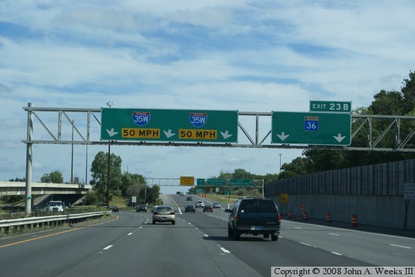
In the photo below, we are back on the main line of I-35W, along with
the traffic from the official marked detour following MN-280.
|

