| Highways, Byways, And Bridge Photography |
I-35W Bridge Winter Views
A Look At The I-35W Saint Anthony Falls Bridge
During The Extreme Cold Of January, 2009
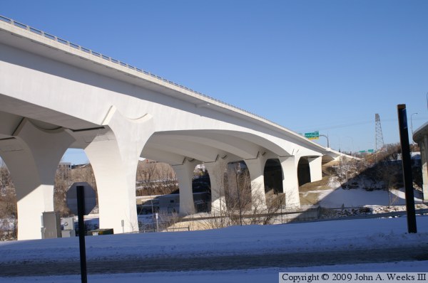
The new I-35W Saint Anthony Falls Bridge opened in September of 2008, and
it quickly faced its first major test as heavy snowfall accumulated in
November and December, followed by extremely cold temperatures in
December and January. Despite air temperatures as low as 30 degrees
below zero, and daily highs that were well into the negative range,
the bridge performed its job without a hitch.
This series of photos shows the Saint Anthony Falls Bridge from on,
around, and under this amazing structure. These views are from late
in January, 2009, during the tail end of the arctic cold snap. The
colder the temperature is, the clearer the sky becomes. The bright
white bridge structure makes for a very dramatic scene when framed
against these ice cold deep blue skies.
Note—these materials are covered by copyright and may not be
used without written permission.
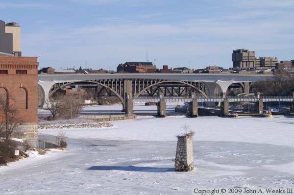
These two photos are views of the main river channel span as seen from
about 2,200 feet upriver of the structure looking to the east. The photo
above was taken from the Stone Arch Bridge, while the photo below was taken
from the parking area at the Mill Ruins Park. The Lower Saint Anthony
Falls Lock & Dam is in the foreground, while the 10th Avenue Bridge
and the Northern Pacific Bridge #9 are visible in the background.
The photo above is a view of the bridge span taken from the northeast
corner of the structure. This location is between the I-35W Bridge
and the 10th Avenue Bridge. This land will eventually be developed
into park land, which should offer a great view of the bridge from
the top of the river gorge.
The photo below is a view of the bridge span taken from the southwest
corner of the bridge. The vantage point is the West River Parkway,
which passes under many of the Mississippi River Bridges in
Minneapolis. This angle gives a good view of the saddle structure at
the top of the piers. This detail is purely for decoration as the
pier supports the bridge from directly below, and there are no side
to side forces.
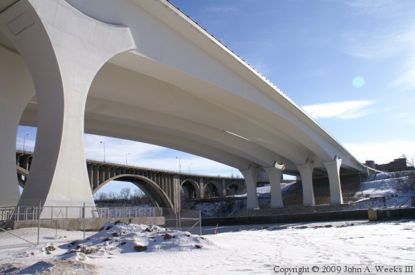
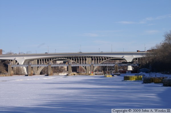
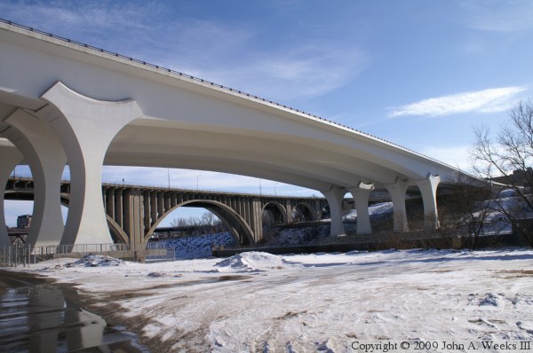
These two photos are views of the main river span taken from the East
River Flats from a vantage point on the northwest side of the structure.
The main span is 504 feet long. The river is about 450 feet wide, of
which 390 feet are part of the 9 foot navigation channel. The deck
of the bridge is 120 feet above the normal water level. The 1929 era
10th Avenue Bridge is seen in the background. It is interesting to
compare the concrete construction techniques from the 20th and 21st
century as they sit side by side.

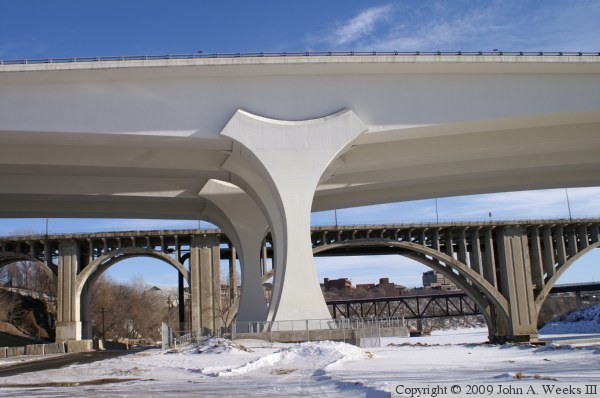
These two photos are views of the northern of the two main bridge
piers. The photo above is looking west towards downtown, while the
photo below is looking east towards the University of Minnesota campus.
The fenced in area around the piers will be developed into a viewing
platform once the weather turns warm.
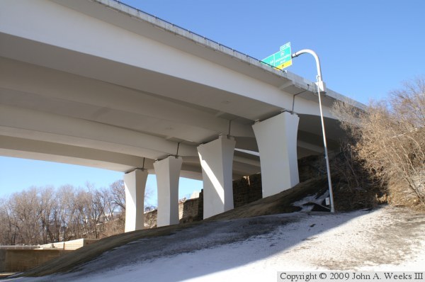
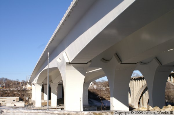
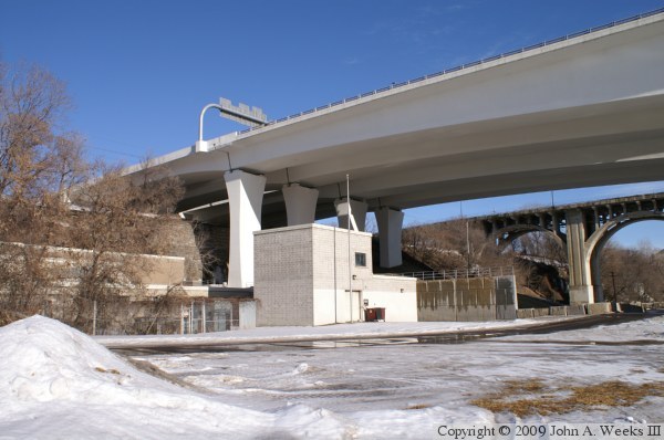
These two photos are views of the smaller secondary span piers located
on the north side of the river. There is a small railroad yard located
on top of the river bluff, making it impossible to build the north
bridge abutment at the edge of the river gorge. This required an
additional secondary span to be constructed. The retaining wall under
the bridge is a historic structure. It once formed the abutment of the
Minneapolis Western Railroad Bridge, which was built in 1893 and removed
in 1952. The building just west of the bridge is the University of
Minnesota Tandem Accelerator, a high-energy physics experiment that has
been largely unused since 1978. The facility was most recently used
to house a MRI machine that was being used to design shielding for
pacemakers. The lab has been in limbo since the bridge disaster, and
the University is considering demolishing the building.

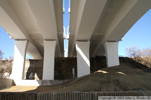
These two photos are views from directly under the Saint Anthony Falls
Bridge looking to the north. This view clearly shows that the bridge
consists of two parallel spans that are independent of each other. The
span on the left is bridge #27409, while the span on the right is bridge
#27410. The photo above is looking across the river, while the photo below
was taken from the north side of the river. The sand pile is a storage
area used by the US Army Corps of Engineers for material dredged from
the river channel.

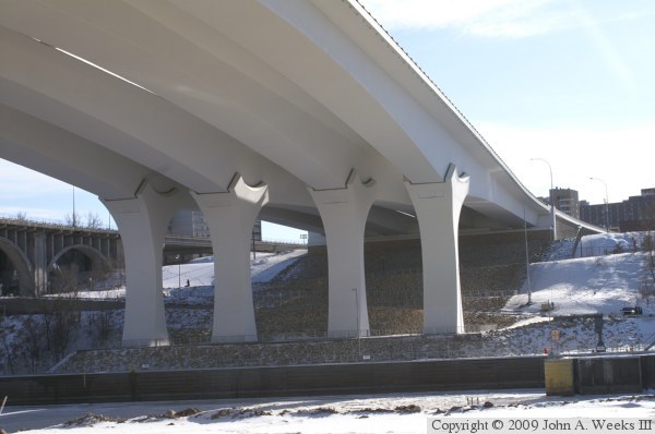
The photo above is a view from directly under the bridge looking across
the river to the south. The photo below is also looking across the river
to the show, showing the support piers on the south side of the main
river channel span. There is a viewing platform at the base of the piers.
The West River Parkway and the entrance road to the Lower Saint Anthony
Falls Lock & Dam run under the secondary span, plus there are two
smaller tunnels under the approach to the south end of the bridge.
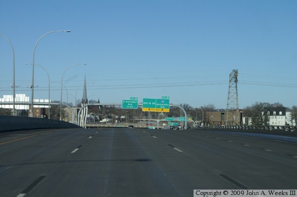
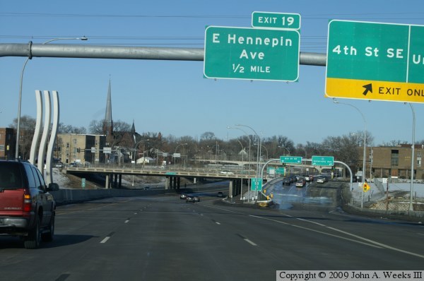
These two photos are views from the traffic deck of the northbound
bridge span. The photo above is taken from near the center of the
main span, while the photo below is taken near the north end of the
bridge. While the bridge looks relatively flat when viewed from the
side, it has a very pronounced hump in the structure when traveling
across the traffic deck of the bridge.

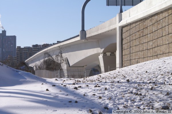
The photo above is a view of the tunnel for 2nd Street SE, which
runs under the north end of the Saint Anthony Falls Bridge. The vantage
point is looking west towards the metal factory located on the upriver
side of the bridge. The retaining wall along the bridge embankment
has an interesting design. It is made out of cut stone and is held in
place by a grid of think wire.
The photo below is one last look at the Saint Anthony Falls Bridge. This
view is taken from the East River Flats on the north side of the river
just upstream of the structure. Both the 10th Avenue Bridge and the
Northern Pacific Bridge #9 are visible in the background.

|

