| Highways, Byways, And Bridge Photography |
Crossing The New I-35W Bridge
Crossing The I-35W Bridge — Southbound
September 18, 2008

The busy Interstate I-35W bridge over the Mississippi River collapsed at
the height of rush hour on Wednesday, August 1, 2007. The new I-35W
bridge to replace the collapsed structure was completed and opened to
traffic just over 13 months later at 5:00 AM on Thursday, September 18,
2008. These photos were taken about 1:30 PM in the afternoon of that
historic day. They show a view of a typical bridge crossing heading
southbound across the bridge, starting at the 4th Street and University
Avenue interchange and ending at Washington Avenue on the south side of
the river next to the Metrodome.
Note—these materials are covered by copyright and may not be
used without written permission.
Note—these photos were taken facing the bright midday sun and
were shot through a windshield, so the contrast is slightly weak. The
photos have not been retouched to compensate.
The photo above is the start of our southbound journey. The bridge
project officially starts under the University Avenue overpass. The
4th Street overpass is just up the highway. These two streets run
parallel through the University area and across the city area north
of the Mississippi River. They are heavily traveled.
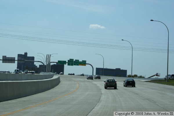
The photo above shows the slight curve as we head towards the bridge,
and the uphill climb to the summit of the bridge. We pass over a tunnel
that carries 2nd Street SE, and then the first (and smallest) main bridge
span that crosses over the railroad tracks on the north side of the river.
The wavy lines mark the start of the river crossing.
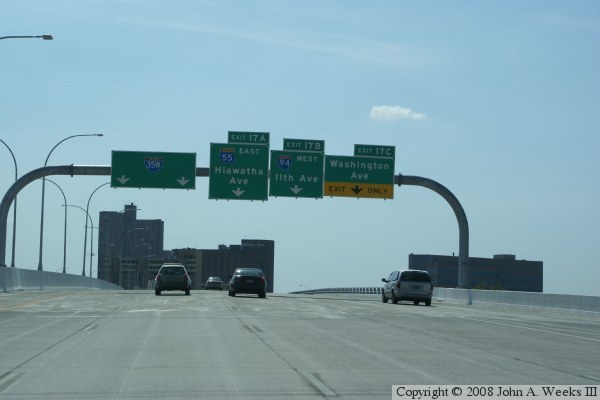
In the photo below, we continue up hill towards the main river crossing
spans. That spot is identified by the start of the metal guardrails and
the street lights in the center of the bridge. This also gives us a good
view of the new modern style monotube sign gantry. As the signs suggest,
there are a number of exits to the right just south of the river.
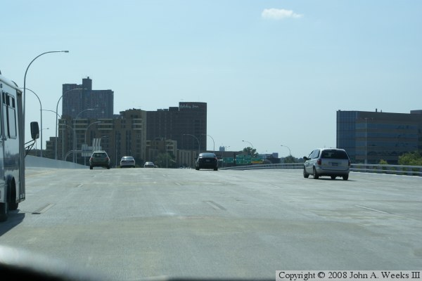
The photo above is a view from the summit of the southbound bridge span.
We can see the Holiday Inn directly ahead of our location, and the
University Administration Building on the right side of the highway.
The American Red Cross headquarters building is located just to the
right of the bridge, which left them in a good position to support the
rescue efforts.
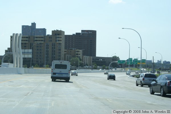
The photo below shows the wavy lines at the end of the main bridge spans.
From here, we transition to a roadway built on an embankment supported by
retaining walls, and eventually land at grade level. The roadway was
lowered as much as 22 feet in this area.

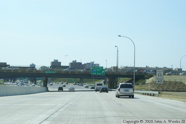
The photo above shows where things start to get a little tricky. The
far right lane exits to Washington Avenue, leaving only 4 lanes on
the main highway. Two of these lanes are for I-35W southbound traffic,
one is for the Hiawatha Parkway, and the remaining lane is the ramp
to I-94 westbound, which leads to 11th Ave and downtown. What is
tricky is that I-94 is still about a mile away, and we already have
to be in the proper lane. More confusingly, old-timers will recall
that the I-94 ramp used to be about a mile and a half up the road
in the commons area. This configuration is much safer than the old
location. Once the I-94 and 11th Avenue exit breaks off, the ramps
to MN-55 (the Hiawatha Parkway) expands to two lanes.
The photo below shows the end of the bridge project directly under the
Washington Avenue overpass. We can see where the I-94 and 11th Avenue
ramp splits off. If you look in the distance, directly above the
oncoming traffic, there are two big green signs on an overpass. Those
signs point 2 lanes of I-35W traffic to the left, and 2 lanes of MN-55
traffic to the east.
|

