The Sidney Lanier Bridge is located at the entrance to the harbor
at Brunswick, Georgia. It replaces an earlier lift bridge. Given
that 20 large ships enter or exit the harbor each day, the lift bridge
was often closed for many hours each day. In shrimping season, the
bridge would be raised many more times. As a result, traffic across
the old bridge was often backed up.
Another key reason for building a new bridge is that many modern ocean
going ships are larger than what the old lift bridge would allow. That
prevented Brunswick from competing on a global scale. In fact, two ships
struck the old lift bridge, causing 10 deaths and resulting in the bridge
being closed for many months.
The new Lanier Bridge has the appearance of the classic bridge to
nowhere. It sits on a small loop of road only a few miles from I-95.
In fact, you can see the bridge from I-95. There are several alternate
routes, and plenty of exits on I-95, so the bridge only saves a mile
or two of travel. I was surprised at how high the traffic count was
compared with the few cars that I saw on the bridge. In comparison to
other major Cable Stayed bridges, the 11,500 traffic count is relatively
small. Then again, the bridge is still very new, so time will tell.
The bridge was named after Georgia poet Sidney Lanier, whose poem
The Marshes Of Glynn is set in Brunswick and describes the vast
open saltwater marshes in Glynn County.
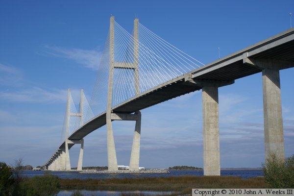
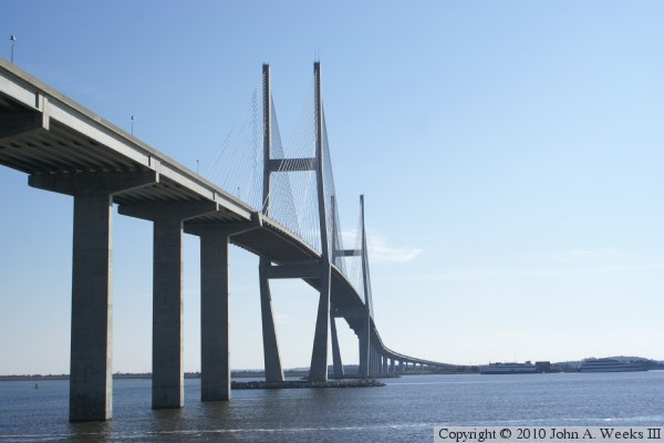
The photo above is a view looking northeast towards the cable stayed spans of
the Sidney Lanier Bridge. The photo below is looking west towards the
upriver west face of the south bridge tower. The ship sitting under the
bridge is a small cruise ship used for day trips that is based at this
location.
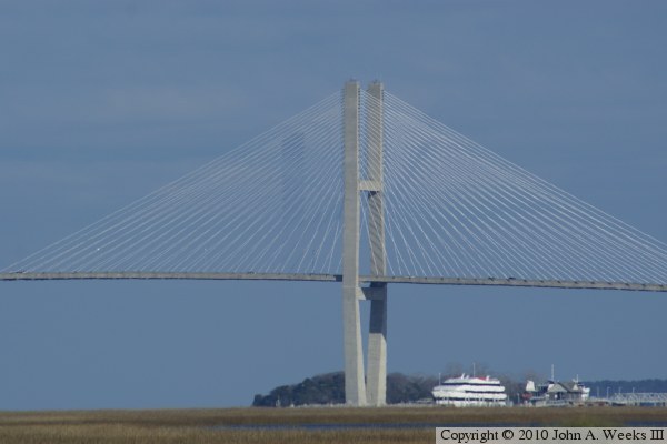
These two photos are views of the upriver west face of the Sidney Lanier
Bridge. The vantage point is the shoulder of highway US-17 about 2 miles
southwest of the structure. The photo above focuses on the main spans,
while the photo below is a wider view that shows more of the approach spans.
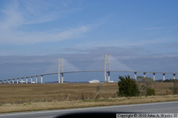
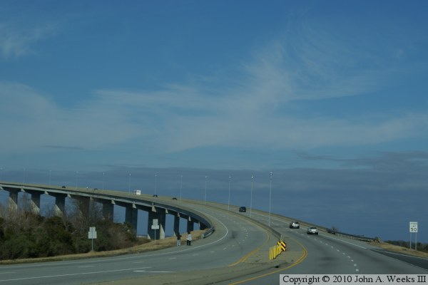
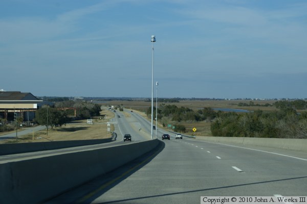
These two photos are the first of a six photo series showing a typical
river crossing heading northbound on US-17 towards the city of Brunswick.
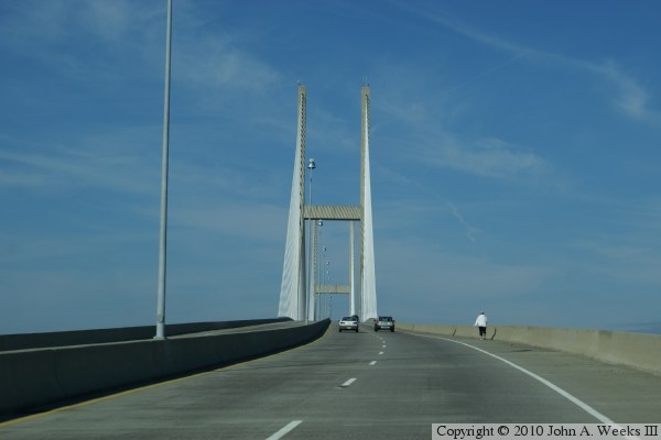
The photo above is approaching the south end of the bridge. The photo below
is rounding the sweeping bend on the south end of the bridge approaching the
suspended cable stay spans.
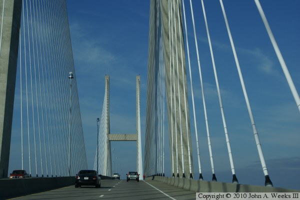
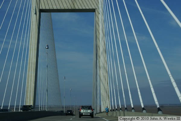
These two photos continue our northbound bridge crossing. The photo above
is passing between the cables near the south bridge tower. The photo below
is a view from mid-span approaching the north bridge tower.
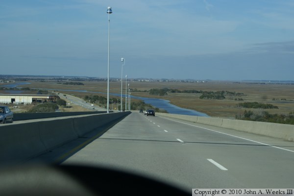
These two photos are final views crossing the Sidney Lanier Bridge heading
northbound. Both views are descending the approach spans on the north
side of the main cable stayed spans. The photo above is near the top of
the downhill ramp, while the photo below is approaching the north end of
the structure.
These two photos are views of the concrete girder spans at the north end
of the bridge. The photo above is a view from the remains of the highway
leading to the old bridge. The photo below is a view from the end of the
remaining section of the old bridge that still exists. Note the two different
styles of piers, with two smaller vertical supports on the shorter piers, and
one larger vertical support on the taller piers.
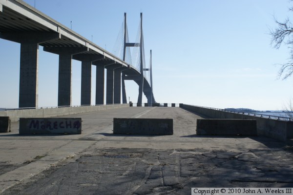
The photo above is a view from the south side of the river channel looking
up towards the west face of the bridge. The photo below is a view from the
north side of the river channel. Both locations are along the path of the
old bridge that once stood at this location.
These two photos are views of the main channel cable stayed spans as seen
from the end of the remaining span of the old bridge on the north side of
the river channel. The photo above is wider shot that shows the entire
river crossing, while the photo below is a closer view of the navigation
channel as it passes under the suspended span.
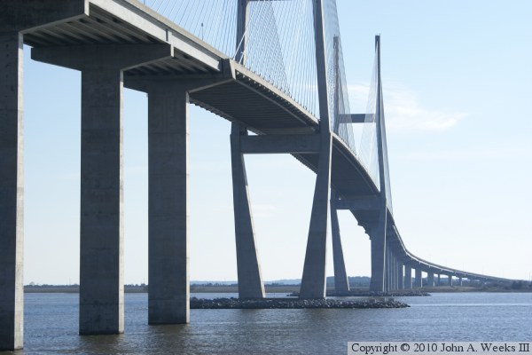
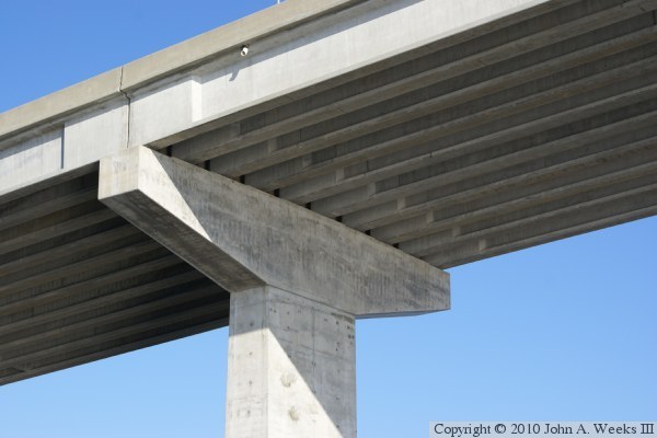
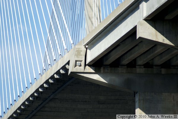
The photo above is a detail view of the underside of the bridge as it
connects to one of the tall T-piers. The photo below is a detail view
of the south end of the suspended spans.