Grey Cloud island sits in a corner of the river where the Mississippi River makes a sharp curve from flowing east and west near Hastings to flowing north and south upriver as far as downtown Saint Paul. While Saint Paul Park and Cottage Grove have seen rapid development, the area near and on Grey Cloud Island is still relatively rural. In fact, most of the island is dominated by two very large sand and gravel operations.
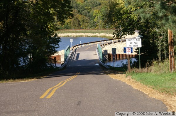
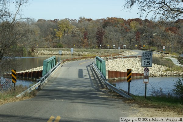
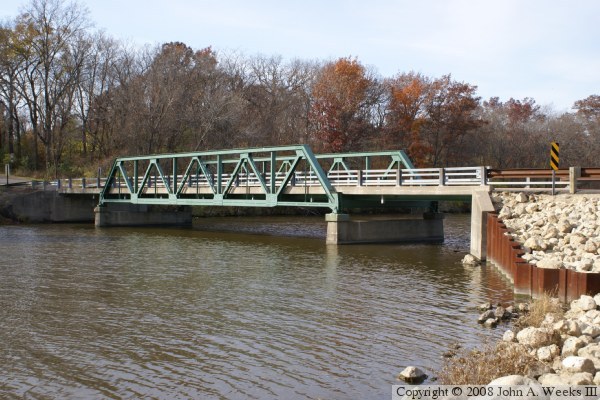
The Grey Cloud Trail Bridge consists of a causeway and bridge on Grey Cloud Trail South at approximately River Mile 822.4. While this bridge looks sturdy and well maintained, it has a very low weight limit, and signs prohibit two cars from meeting on the bridge. The deck and the steel truss are both built very light, so the city would like to avoid having it pounded to smithereens by heavy traffic. Traffic on the bridge is so light that it really would not be cost effective to replace it, so preserving it is the best option at this time.
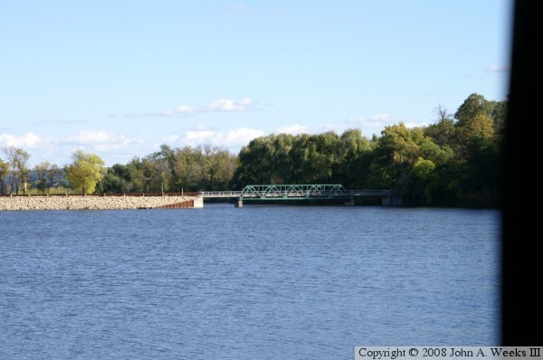
The photo above is a profile view of the bridge taken from a walkway along the river channel. The photo below is your first view of the bridge when heading northbound on Grey Cloud Trail. Notice the highway sign that prohibits vehicles from meeting on the bridge.