| Highways, Byways, And Bridge Photography |
Chaska Bridge
MN-41 Minnesota River Crossing
Chaska, MN

|
• Structure ID: |
NBI: 10012. |
|
• Location: |
River Mile 31.6. |
|
• River Elevation: |
695 Feet. |
|
• Highway: |
MN-41. |
|
• Daily Traffic Count: |
15,800 (2004). |
|
• Bridge Type: |
Steel Girder, Concrete Deck. |
|
• Length: |
508 Feet. |
|
• Width: |
60 Feet, 4 Lanes. |
|
• Navigation Channel Width: |
Non-Navigable. |
|
• Height Above Water: |
21 Feet (Estimated). |
|
• Date Built: |
Open June 2006, Complete December 2007. |
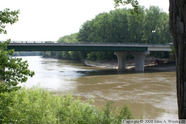
This is the new MN-41 Minnesota River Crossing in Chaska, Minnesota.
The old MN-41 Minnesota River Bridge at Chaska was one of the most heavily
used 2 lane bridges in the state. While the old bridge was structurally
sound, it needed repairs and a new deck. At the same time, MN-DOT wanted
to upgrade the river crossing to 4-lanes between US-169 and US-212. Rather
than fixing the old bridge, it was decided to build a new 4 lane bridge.
To complicate the construction process, the river crossing had to remain
open during the bridge replacement. To make this work, the bridge was
built in two sections that were each two lanes. A 2 lane section was
built east of the existing bridge. Traffic was moved to the new bridge,
and then the old bridge was removed. That made room for the 2 lane span
headed southbound to be built. Once the deck was compete, traffic was
run down the middle two lanes to allow the railings to be completed.
Final construction was completed in December, 2007.
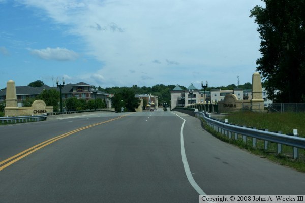
The new bridge was built with a number of decorative items making the
structure serve as a formal entry point into the city of Chaska. These
items include the decorative lighting, pillars, stone work, and signs
at the corners announcing that this is Chaska. The photo above is a view
of the nearly completed bridge from the northwest looking south.
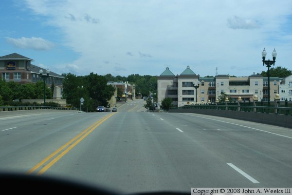
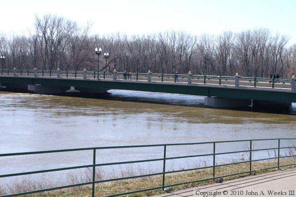
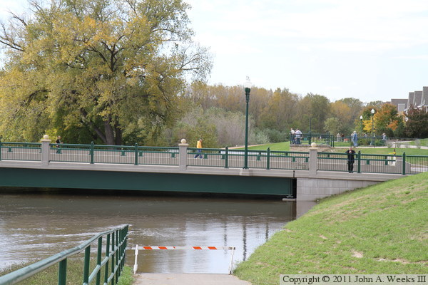
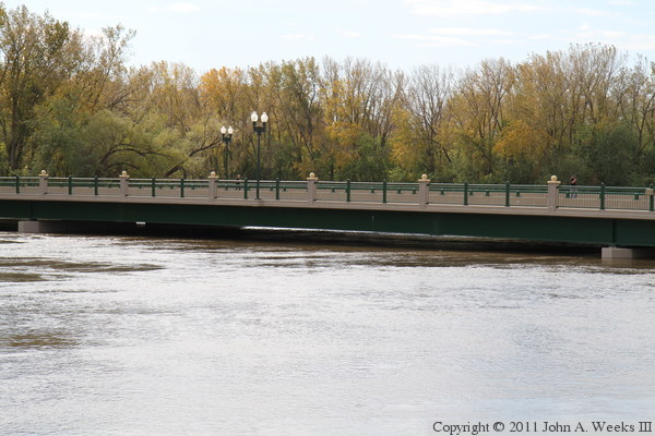
These two photos show a northbound crossing of the new MN-41 bridge at
Chaska. The photo above is just entering the bridge, while the photo
below shows the view from the crest of the bridge.
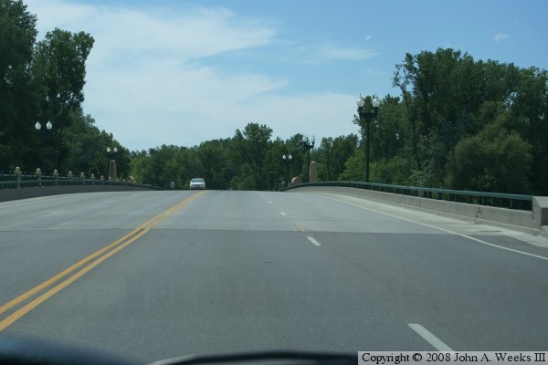
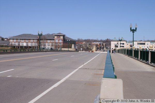
The photo above shows a southbound crossing heading out of Chaska. The
photo below is a view from the sidewalk looking south just prior to
the bridge being completed.
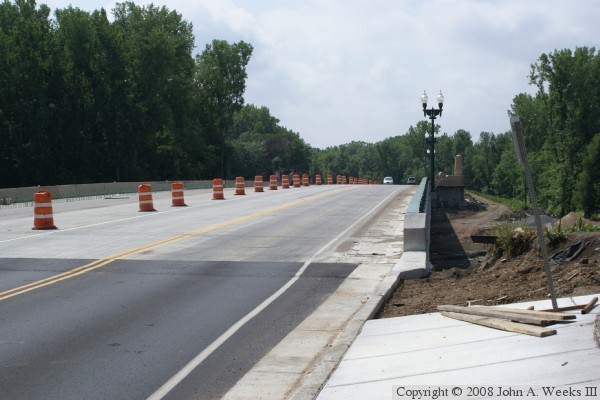
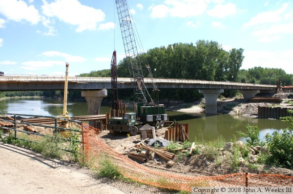
These two photos show views of the bridge under construction. The northbound
lanes are complete and are carrying two-way traffic. The southbound lane
construction is just getting underway with work focusing on the piers.
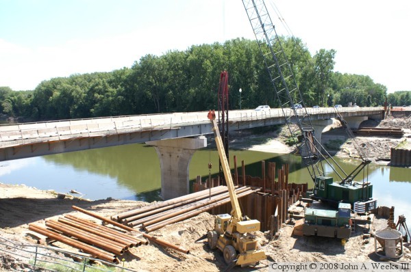
The photo above is a view of the nearly completed bridge. The southbound
span construction is complete, but the bridge has not been painted yet.
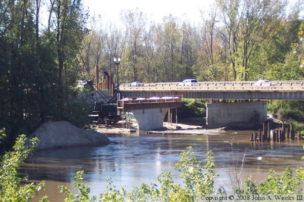
The photo below is a view from very early in the construction project. The
old bridge is still in operation, and the piers for the northbound lanes
are just being competed. Work was slowed down a bit due to several periods
of high water, as seen in both of these photos.
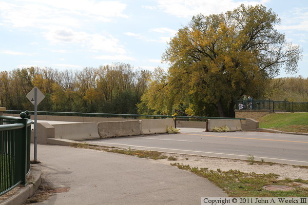
These two photos, and the four that follow, are views from the spring flood
of 2010. The photo above is looking north down the length of the MN-41
bridge deck towards the city of Chaska. Note that the far end of the bridge
is blocked with concrete K-blocks. The photo below is looking north along
the downriver east side of the river bridge.

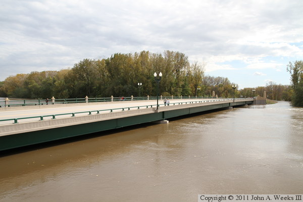
The photo above is looking west towards the downriver east side of the MN-41
bridge, while the photo below is looking south along the upriver west side
of the structure. Note that the water at the level of the bottom of the
concrete shoulders of the bridge piers. This bridge did not flood, but the
highway south of the bridge was flooded and was closed for several weeks.

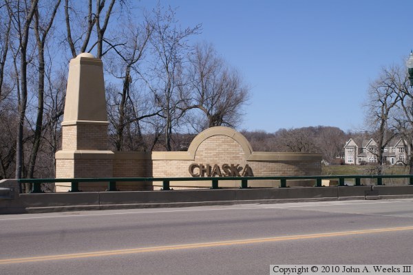
The photo above is the monument located at the southwest corner of the bridge.
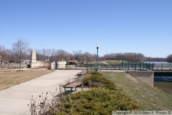
The photo below is the plaza and monuments at the north end of the bridge.
There is a park on the west side of the highway with the local trail systems
running along the top of the levee.
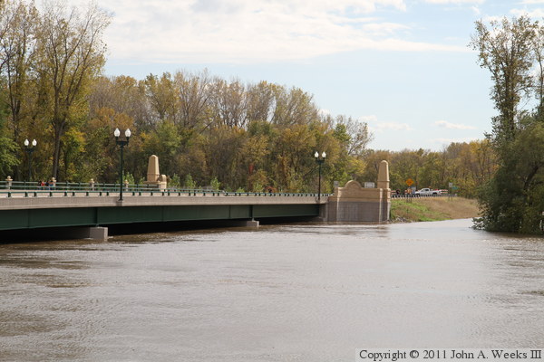
The photo above from October, 2010, shows that the north end of the Chaska
Bridge was blocked off a second time in the same year, this time due to a
an unusual autumn flood on the Minnesota River. The photo below is looking
west towards the north bridge abutment, where we see the water right up to
the bridge girders.
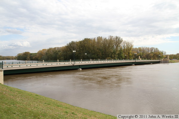
These two photos are views of the upstream west face of the Chaska Bridge as
seen from two different overlooks along the riverfront in Chaska on the
north riverbank. The photo below is a closer view of the main channel span.

The photo above is looking southeast towards the upstream west face of the
Chaska Bridge. This was one of the highest recorded water levels in the
area since the levees were built. Despite the high water, the crest was
well below the top of the levee here at Chaska. The photo below is the
south bridge abutment. The vehicle parked in the roadway is a MN-DOT truck.
Crews from MN-DOT monitored both ends of the causeway around the clock
during the flood event. Despite the bridge remaining above water, the
causeway flooded and suffered significant damage.

These two photos are views of the downstream east face of the Chaska Bridge
during the autumn flood of 2010. Both MN-DOT and the Carver County Sheriff
Department was very accommodating to spectators and kept the bridge open to
foot traffic. Scott County, however, set up police lines on the south end
of the river crossing that were a half mile from the river preventing the
public from getting a view of the flooded roadway.
|
