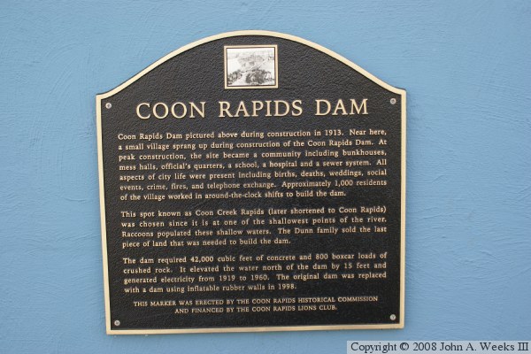
The original dam at this location was built in 1913. It was constructed as
an earth and concrete structure resting on wood and steel piles. Demand for
hydro power dropped in the 1960s, and the dam was abandoned on December 31,
1966. The dam was taken over by the county park districts to be used as a
regional recreation area. The dam and the overhead pedestrian bridge was
removed and rebuilt over a two year period from 1995 to 1997.
The old dam had 33 gates. The replacement dam has 10 gates, but they are
much larger gates than were found on the old dam. Five of the gates are
crest gates, which means that water flows over the gate, and the gate can
lift up to stop the flow of water. Four of these crest gates have inflatable
rubber bladders. The bladders can be inflated to hold back more water and
raise the level of the dam pool. The Coon Rapids Dam is the largest dam in
the world to use these inflatable rubber bladder gates.
The Coon Rapids dam does not have a lock system for navigation traffic.
That means that this is the true head of navigation for the great river.
All dams south of this point have locks and are primarily for navigation,
with the Keokuk Power Dam being the notable exception of having a large
powerplant. The Coon Rapids dam is primary for recreation to maintain a
constant pool depth. Dams north of here were installed for a variety of
reasons from flood control and reservoir management to hydro power and
logging.
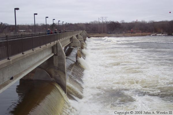
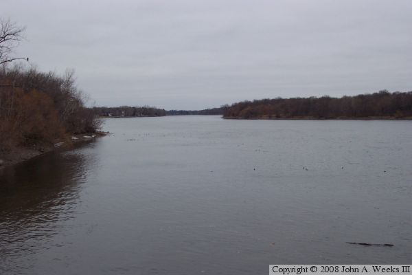
The photo above is looking east across the main river channel structure.
The photo was taken during a period of high water. The noise and power
of the water flowing through this dam is nothing short of amazing. The
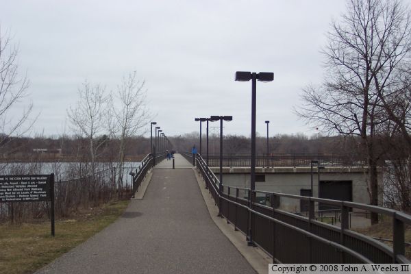
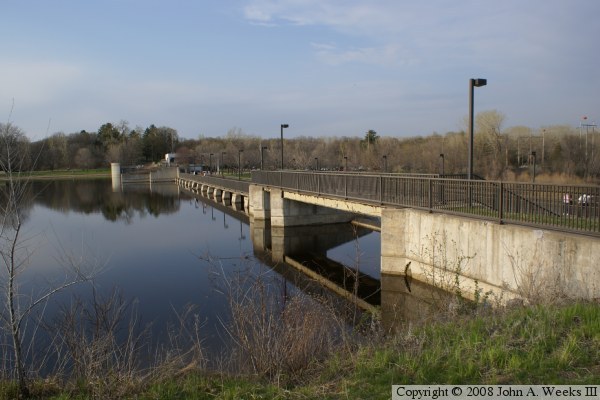
photo below is looking east towards the walkway that runs across the top
of the main dam structure. This walkway is open to the public and is
heavily used by pedestrians, bikers, and rollerbladers.
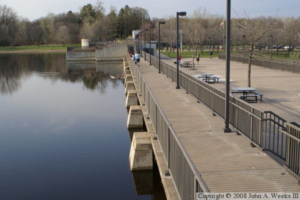
The photo above shows some of the fishing platforms on the west side of the
dam. The photo below shows the first gate of the dam, and the walkway
above the dam structure.
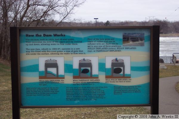
The photo above shows a sign that explains how the inflatable dam gates
function. The dam features five inflatable gates. The photo below is
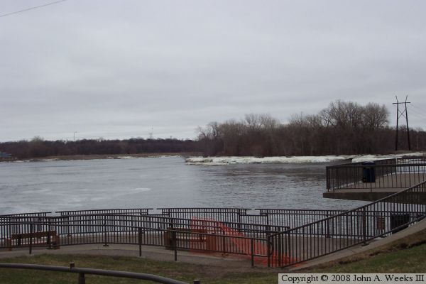
looking up river on a cold windy spring afternoon.
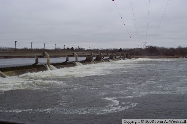
The photo above is looking towards the east across the main dam. This
view is from during the spring runoff, which means a high volume of water
flowing through the dam. The photo below is the dam on the east channel
of the river. This channel once fed the power house and contains the
overflow channel.
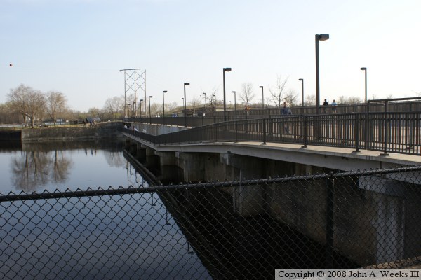
These two photos show the lower of two bridges over the dam overflow
gates.
The photo above is a view of the east channel dam taken from the upper
overflow channel bridge. The photo below is another photo of the lower
bridge across the overflow outlet.
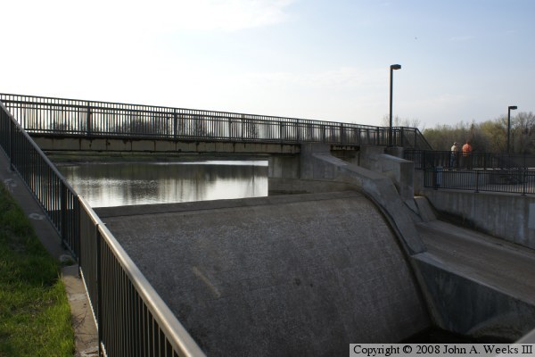
The photo above is a view of the overflow channel. Prior to the rebuild,
this outlet contained a roller gate that could be adjusted hydraulically.
Today, that gate is part of a history exhibit. The overflow is now a fixed
concrete gate that allows water to flow over the spillway once it reaches
a certain level. The photo below shows the fishing deck on the east
channel dam structure.
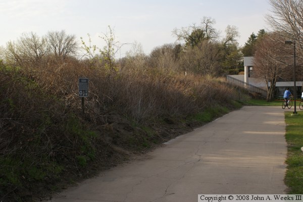
The photo above shows an earth fill section of the dam on the far east
end of the structure. The building in the background is the Anoka
County dam visitors center. Note that there is also a visitors center
on the Hennepin County side of the dam. The photo below is a historical
marker placed at the dam site.