| Highways, Byways, And Bridge Photography |
I-94 Interstate Bridge
I-94 Saint Croix River Crossing
Hudson, WI
|
Eastbound Span |
|
• Structure ID: |
NBI: 82800 (MN), B55012600000000 (WI). |
|
• Length: |
2,382 Feet. |
|
• Width: |
68 Feet, 4 Traffic Lanes. |
|
• Date Built: |
Opened August 1995. Replaced 1951 Span. |
|
|
|
Westbound Span |
|
• Structure ID: |
NBI: 9400 (MN), B55006100000000 (WI). |
|
• Length: |
2,381 Feet. |
|
• Width: |
52 Feet, 4 Traffic Lanes. |
|
• Date Built: |
Built 1971, Reconstructed 2004. |
|
|
|
Statistics Common To Both Spans |
|
• Location: |
River Mile 16.1. |
|
• River Elevation: |
675 Feet. |
|
• Highway: |
I-94, US-12. |
|
• Daily Traffic Count: |
82,000 (2004). |
|
• Bridge Type: |
Steel Girder. |
|
• Navigation Channel Width: |
300 Feet. |
|
• Height Above Water: |
55 Feet. |
Given that Minneapolis is a major trading area for western Wisconsin, and
the population boom underway on the Wisconsin side of the state line, the
I-94 Saint Croix River crossing is a major transportation facility important
for the economy of both states. Traffic is high, especially on holiday
weekends.
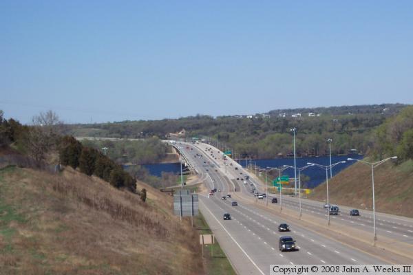
Looking at the top photo, which is shot from the Wisconsin side facing
Minnesota, notice the small jog in the highway at the base of the
bridge. I-94 in Wisconsin once was aligned on the current eastbound
lanes, and crossed the river where the south span currently sits. The
old south span was a long through-truss bridge. In the mid-1980s,
Minnesota completed I-94 from the state line to I-494/694. This project
included adding the current north span. Once that span was completed,
the old bridge was shut down and refurbished, opening again in the late
1980s. With I-94 aligned along the old span, the new bridge introduced
a small jog in the highway alignment.
Wisconsin DOT rebuilt I-94 from the state line to about 3 miles east
of Hudson in the late 1980s. The new eastbound lanes were built south of
the existing right of way, and the westbound lanes were built on the old
alignment. This had the effect of making the jog even bigger.
Next came the flood of 1993. The old south span was severely damaged
in the record flood. The state made temporary repairs, but the stress
on the structure caused hundreds of cracks to form in the steel. The
bridge was no longer able to handle heavy loads. On an emergency basis,
eastbound trucks were routed across the median and on the inside lane of
the westbound span. Had this action not been taken, bridge engineers
believed that the old span would have ended up in the water within a
year. They consider it a close call.
Work on a new south span was started in 1994. The new bridge was
built between the existing bridges. It was tricky work since the
new bridge was 80 feet wide, but the existing bridges were only 95
feet apart. The new bridge opened up only 363 days after it was
started, which is an amazing feat of bridge construction. Just
as the new south span was completed, the north span required significant
deck work. As a result, all traffic was routed across the new south
span for nearly a year. The net effect is that this area was under
construction for most of a decade.
Many people are aware that the Mississippi River forms part of the
border between Wisconsin and Minnesota. As a result, many people
traveling on I-94 towards the Twin Cities mistakenly think that they
are crossing the Mississippi River via this bridge, and are unaware
that the Saint Croix River also forms part of the border between
these two states. The size of the Saint Croix River at this location
adds to the illusion since it is five times as wide as the Mississippi River
where I-94 crosses the Mississippi in Minneapolis.
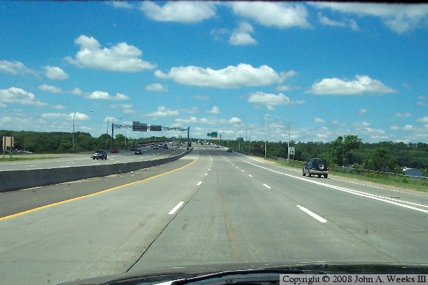
The photo above is a view of the river crossing from an overpass at the
top of the bluff on the Wisconsin side of the Saint Croix River. The
photo below is a view from traffic level heading westbound towards
Minnesota. The newer span is on the left in both photos.

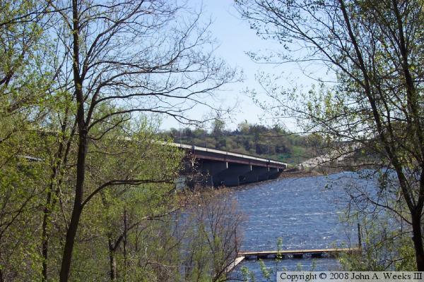
These two photos are views from the west end of the structure. The photo
above is south face of the bridge viewed from under the structure. The
photo below is the east end of the bridge viewed from the west river bank.
The newer of the two spans is on the right side in each photo.
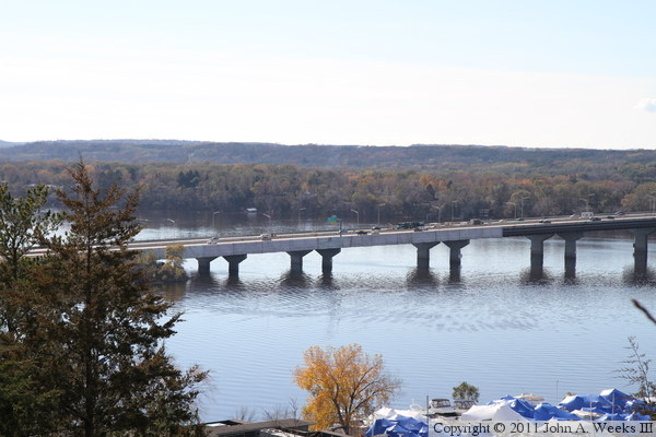
These two photos are views from Birkmose Park high on the bluffs above
Hudson, Wisconsin, on the east side of the Saint Croix River. The photo
above is the east end of the bridge, where work is underway to pain the
the older westbound span in the autumn of 2010. On October 20, a worker
fell from a ladder while working under the bridge, landing on a platform
15 feet below the bridge, breaking his leg in the process. It took local
firefighters an hour and a half to rig ropes and rescue the worker in one
of the most technically complex rescues ever undertaken by the Hudson
Fire Department. The rescue occurred during rush hour, resulting in a
huge traffic jam for commuters heading home to Wisconsin from the Twin
Cities. The photo below shows the entire bridge.

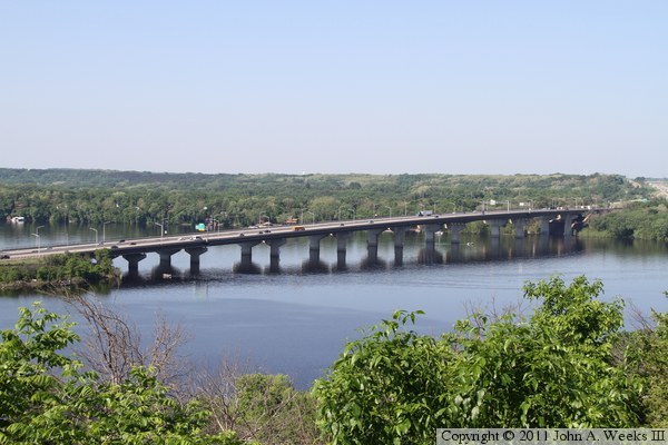
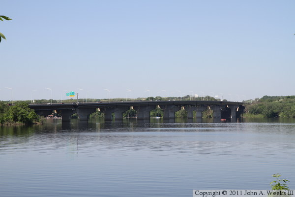
The photo above is another view of the Interstate Bridge as seen from
Birkmose Park taken from the same vantage point as the photo directly above.
This photo is from late spring, 2011, where as the earlier shot is from autumn
of the year before. The photo below is a similar view taken from the same
angle, but from the waterfront rather than the top of the bluffs.
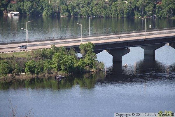
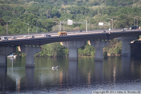
The photo above is a view of the east end of the Interstate Bridge. The
photo below are the main bridge spans. Both views are looking southwest
from Birkmose Park.
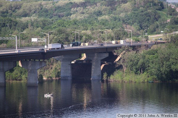
The photo above is the west bridge abutment as seen from high on the bluffs
in Birkmose Park on the east side of the Saint Croix River. The underside
of the bridge is in a shadow, while the landscape is in bright sunlight,
making for a difficult lighting conditions. The photo below is the bridge
plate on the Wisconsin end of the newer eastbound span.


The photo above is looking west down the south face of the eastbound bridge
span towards Minnesota. The photo below is looking west down the north face
of the westbound span. This side of the bridge is in a shadow, which
resulted in the landscape being overexposed in order to show the detail under
the bridge.

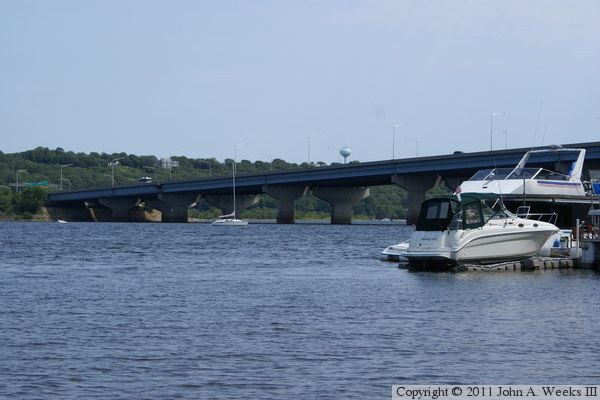
The photo above is the north side of the bridge as seen from a park on the
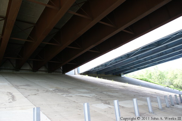
Minnesota side of the river. The photo below is looking south under the
west end of the bridge from the access road to the Saint Croix Beach Park.

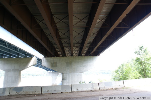
The photo above is the abutment on the west end of the bridge. The brown
steel is on the newer eastbound span, while the blue steel is part of the
older westbound bridge. The photo below is a detailed look at the underside
of the newer eastbound span. It is very dark under the bridge, resulting in
the rest of the photo being overexposed.
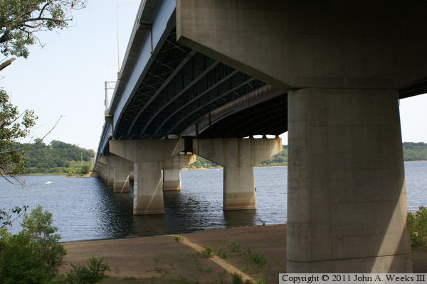
These two photos are views looking east along the north side of the older
westbound bridge. The photo above includes a view of the Minnesota shoreline
in the foreground, while the photo below gives a closer view of the main
channel span.


These two photos are views looking between the two bridge spans from the
Minnesota side of the river. The photo above is looking towards Hudson,
Wisconsin, on the east side of the Saint Croix River, while the photo
below is looking down the gap between the two bridges.


These two photos are looking east towards Wisconsin along the south side
of the newer eastbound structure. The photo above is looking along the
outside of the bridge, while the photo below is looking under the rightmost
side of the bridge below the pedestrian walkway.
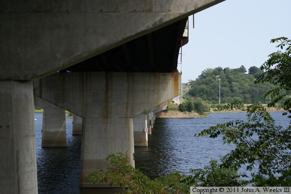
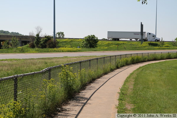
These two photos, and the 30 that follow, are views from walking the bridge
deck in the spring of 2011. The photo above is the trail leading to the
east end of the Interstate Bridge from downtown Hudson. It is about a mile
from the nearest parking area to the east bridge abutment. In this view,
we are facing south looking towards Interstate highway I-94 near the
interchange with WI-35. The photo below is the trail after it makes a turn
to the west.
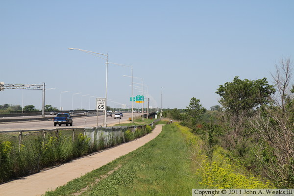
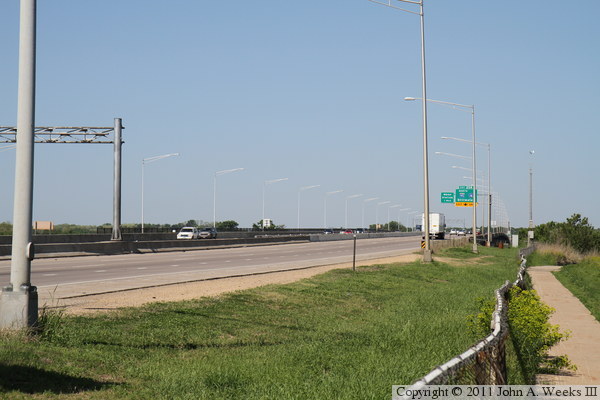
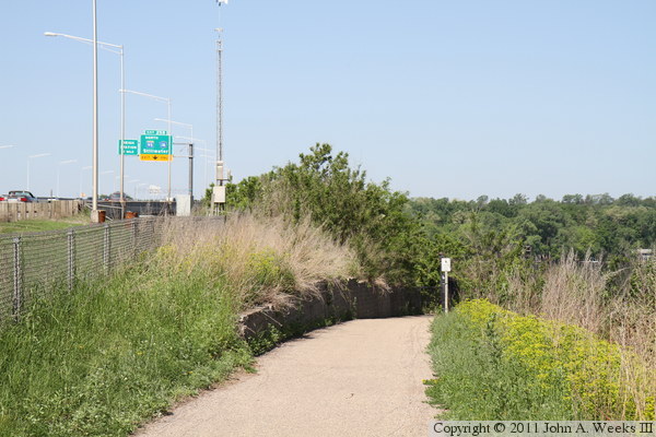
The photo above is the east end of the Interstate Bridge. The westbound
lanes heading to Minnesota are on the near side, with the eastbound lanes
heading into Wisconsin on the far side of the highway. The photo below
is the trail near the east bridge abutment. The trail loops under the
bridge, then comes up on the south side of the structure to cross the river
on the south bridge span.

These two photos are views of the trail as it makes a corner to the left to
head south under the east end of the I-94 Interstate Bridge. The photo
above is looking west with the river in the background, while the photo
below is looking southwest with the bridge in the background.


The photo above is the north side of the east bridge abutment as the
trail approaches the structure from the north. The photo below is looking
south along the trail as it passes under the two bridge spans. Note the
scaffold hanging down under the bridge. This is to provide access to
work crews who are painting the bridges.
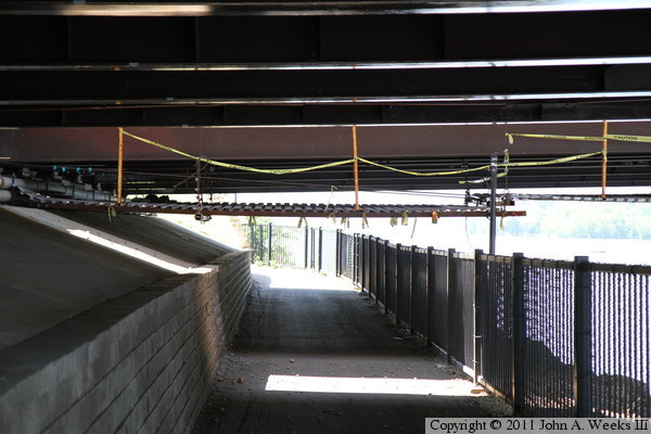
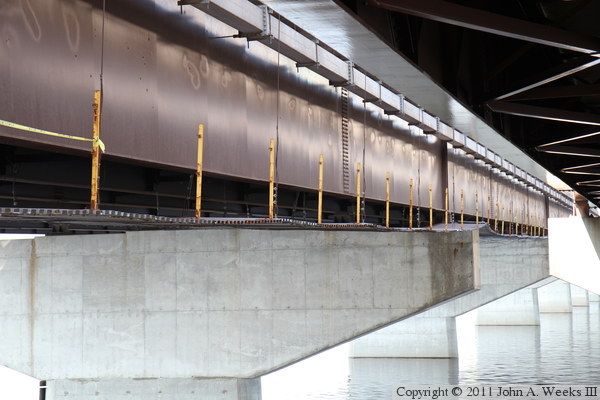
The photo above is a view of the north side of the eastbound bridge span.
It provides another view of the scaffolding hanging from the structure.
The photo above is the trail as it heads east along the south side of the
south bridge abutment. The trail will make a hairpin turn just before the
gantry sign and connect to the sidewalk on the bridge.
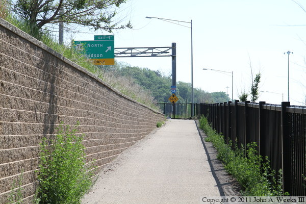
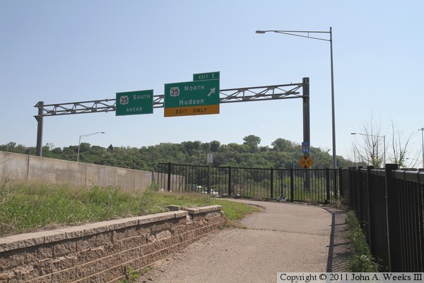
These two photos are views of the hairpin turn at the east end of the eastbound
bridge span. This turn allows the trail to climb up to the bridge deck after
having passed under the bridge. The photo above is looking east towards
Hudson, while the photo below is looking west towards Minnesota.
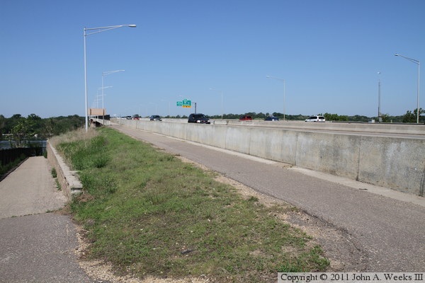
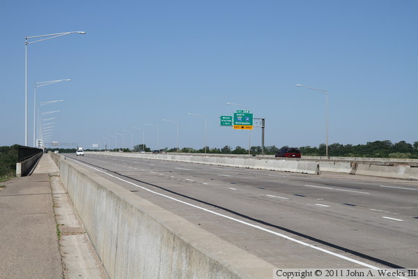
The photo above is looking northwest across the traffic lanes at the east
end of the Interstate Bridge. The oncoming traffic in the nearest lanes
are leaving Minnesota and heading into Wisconsin. Note the line of K-blocks
blocking off the lane closest to the middle of the bridge. This is to
block off a lane to be used by construction equipment supporting the bridge
painting project. The photo below is looking west along the sidewalk on the
south side of the south bridge span.
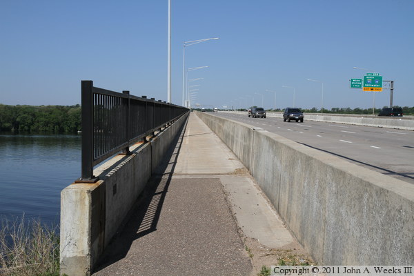

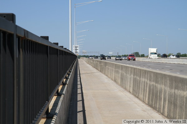
The photo above is another view looking northwest across the traffic lanes.
This is a very busy bridge, and I had to wait several minutes for a gap in
the traffic to get a photo without cars blocking the view. The photo below
is another view looking west down the sidewalk as we continue our trek towards
the west end of the structure.
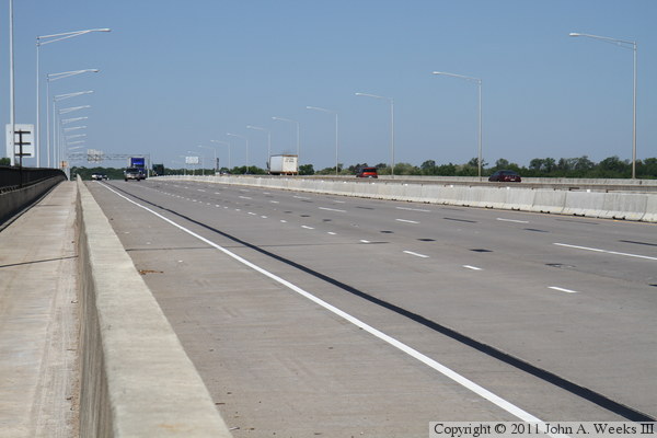
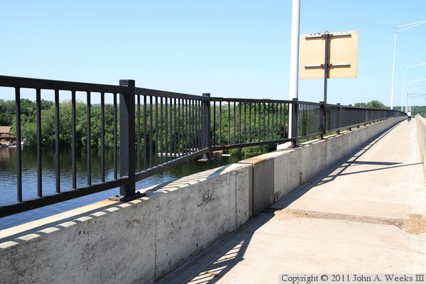
The photo above is a view looking across the traffic lanes from about one-third
of the way across the bridge while heading westbound towards Minnesota. The
photo below shows a spot where the bridge railing is in need of repairs.
It appears that the bolts were removed and the railing was pushed out with
considerable force. I don't see any evidence of a traffic accident here,
so I don't know how this was damage occurred. It is curious that it happened
at a joint in the bridge. It looks like the railing has a section that is
supposed to telescope to allow the bridge joint to move. I suspect that this
telescope on the railing rusted, and then enough force built up in the railing
to break the blots when the bridge contracted.
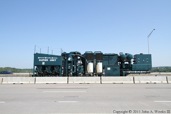
The photo above is a ‘Super Unit’ rented from Advanced Recycling
Systems from Ohio. This machine supports the sand blasting used to remove
paint and rust from the bridge, and it cleans and recycles the grit used in
the blasting. This impressive machine has a 350 horsepower diesel engine
that drives a 40-kilowatt generator, which in turns powers a 7.5 horsepower
electric fan. It can generate 200 pounds per square inch for blasting, and
deliver 5,400 cubic feet of air per minute. The photo below is looking west
along the sidewalk as we near the center of the bridge.
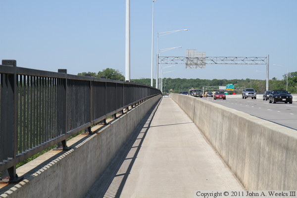

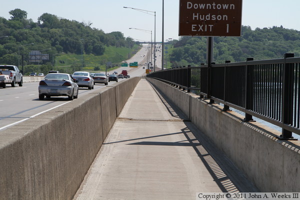
The photo below is a view of the west end of the bridge on the Wisconsin
side of the Saint Croix River. The work crews in the far left lane near the
center of the bridge are sand blasting and painting the bridge steel under
the bridge deck. The photo below is a view looking east down the sidewalk
as we walk back towards Hudson, Wisconsin. The section of bridge railing
that is damaged is just beyond the sign post in the foreground.
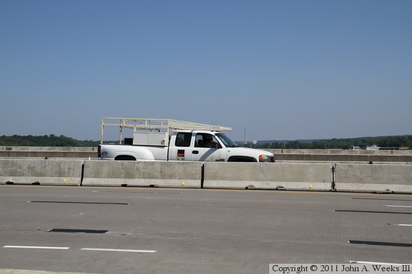
The photo above is the contractor pickup truck that shadowed me the entire
time I was on the bridge taking photos. Apparently they are a little
sensitive about people taking photos, possibly due to the construction
accident that happened in the latter part of 2010. The photo below is
looking east towards the east end of the Interstate Bridge.


The photo above is looking off to the southeast from the bridge deck towards
the trail as it loops back under the bridge. The photo below is the hairpin
turn in the trail at the east end of the bridge.
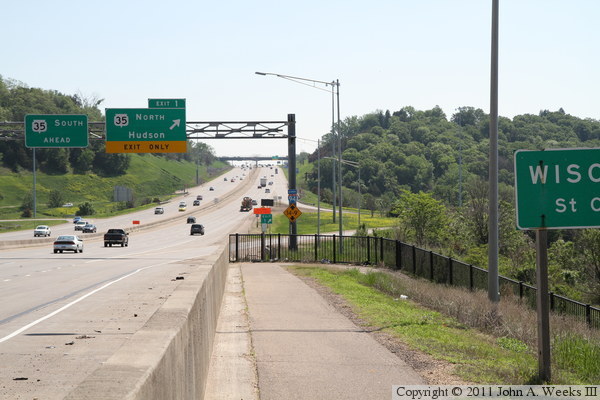
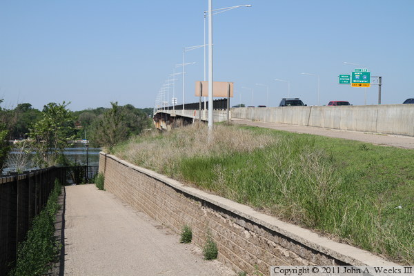
The photo above is walking west on the trail as it descends toward the turn
where it passes under the bridge structure. The photo below is the bridge
abutment at the east end of the eastbound span.


The photo above is looking west along the south face of the south bridge
span towards Minnesota. The vantage point is near the bridge abutment at
the top of the retaining wall that is visible in the photo below. The
photo below is a view of the trail as it turns to the north to pass under
the Interstate Bridge.
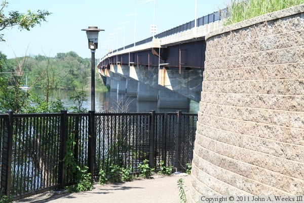
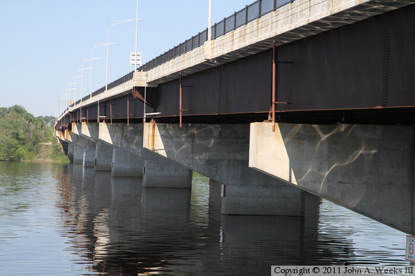
The photo above is a view looking west along the south face of the eastbound
span of the Interstate Bridge. The vantage point is the trail that passes
under the bridge. The photo below is a view of the bridge structure as
seen from under the bridge deck.

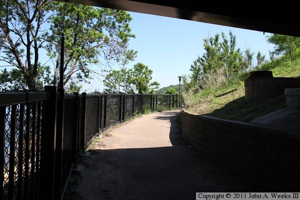
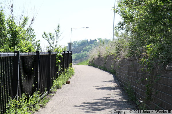
These two photos are the last two on our journey heading back to Hudson
after crossing the bridge deck on foot. In the photo above, we are passing
under the westbound bridge span, about to make a turn to the east. The
photo below is looking to the east as we walk towards Hudson on the trail
just after the turn visible in the photo above.
|


