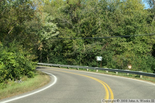
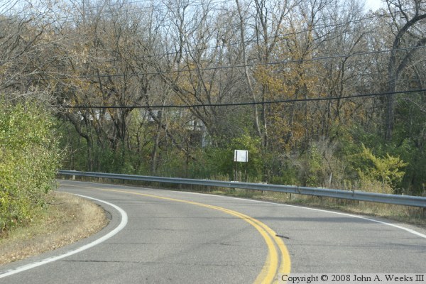
Grey Cloud island sits in a corner of the river where the Mississippi River makes a sharp curve from flowing east and west near Hastings to flowing north and south upriver as far as downtown Saint Paul. While Saint Paul Park and Cottage Grove have seen rapid development, the area near and on Grey Cloud Island is still relatively rural. In fact, most of the island is dominated by two very large sand and gravel operations.
The Grey Cloud Channel Bridge consists of a causeway on Grey Cloud Island Drive at approximately River Mile 827.3. The bridge is not visible from the roadway. In fact, I am not completely sure that there is a bridge or culvert at this location. Such a structure is either obscured by the thick vegetation, or is located below the water line. The water is relatively calm and deep, so there is no visible indication of water flowing through a culvert. At the same time, the water is clear enough that it does not appear to be stagnant. Given the sharp drop and deep water, plus the blind corner on the road, it is too risky to explore the banks of the causeway. At any rate, it would be a crime against nature to simply block off a river channel. If that is the case, then I suggest naming this feature as an earthen dam.
The photo above and below were taken at the same vantage point south of the suspected bridge looking north. The photo above was taken in 2007 just as the trees were starting to turn colors. The photo below was taken in 2008 just at the tail end of the color season.


