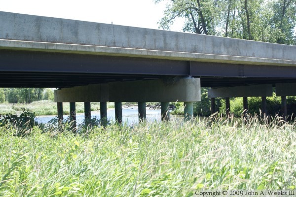
This causeway, as well as the MN-41 causeway (upstream) and the old Bloomington Ferry Bridge (downstream) are very quick to flood in high water. The new Bloomington Ferry Bridge was built above the 100 year flood line to prevent it from flooding in the future. MN-DOT is looking at building a new freeway style river crossing over the Minnesota River between this bridge and the MN-41 causeway to prevent traffic from being blocked by future floods.
This section of road has been marked with several different designations over the years. It was US-169 until the Bloomington Ferry Bridge opened in 1996. From there, it was MN-101. MN-101 in Scott County was later turned back to county maintenance, so MN-101 ended at the county line. That means that the upper part of the causeway and the backchannel bridge in Carver County are part of MN-101, but the main channel crossing in Scott County is designated CSAH-101 (County State Aid Highway). The NBI, however, calls this section of road US-969D.
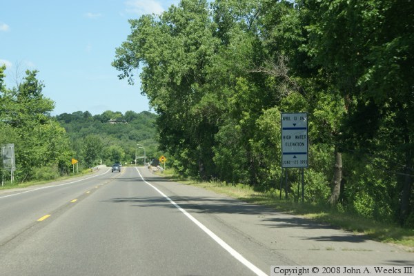
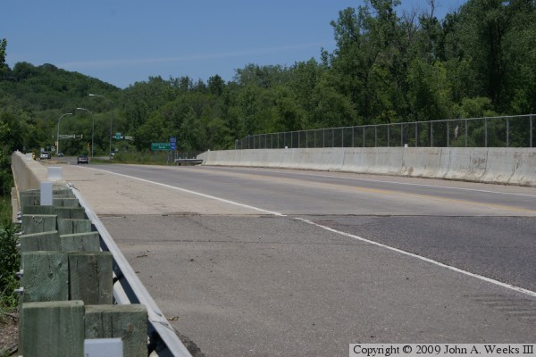
The photo above is the approach to the bridge heading northbound. The photo below is the causeway heading northbound towards the bridge. The vegetation and trees on each side of the road hide the fact that there is water on both sides of the causeway. The highway sign in the photo below shows the depth of the river water during the floods of 1965 and 1993.