| Highways, Byways, And Bridge Photography |
Chicago & North Western Railroad Bridge
C&NW Saint Croix River Crossing
Hudson, WI
|
• Structure ID: |
N/A. |
|
• Location: |
River Mile 17.4. |
|
• River Elevation: |
675 Feet. |
|
• Railroad: |
Union Pacific Railroad. |
|
• Daily Traffic Count:: |
5 Trains Per Day. |
|
• Bridge Type: |
Steel Truss With Swing Span. |
|
• Length: |
3,922 Feet (Estimated). |
|
• Width: |
1 Track. |
|
• Navigation Channel Width: |
132 Feet. |
|
• Height Above Water: |
17 Feet. |
|
• Date Built: |
1872. |
This is a bridge that I know very little about. It was built by the
Chicago, Milwaukee, Saint Paul, and Omaha Railroad, which became the
Chicago & North Western, which is now the Union Pacific Railway.
The railroad bridge at this location dates back to 1872, but likely
has been upgraded or replaced since then. The bridge is still in
operation, and it frequently opens and closes in the summertime.
This bridge is located in an area of the Saint Croix where sandbars
naturally occur. The bridge is located close to the Minnesota shore,
and connects to a long causeway built across a relatively wide part
of the Saint Croix river. On the Wisconsin side, the causeway branches
off into two different wye-configurations. One branch of the second
wye runs along the river shore, crossing a dam that holds back a tributary
of the river forming Lake Mallalieu. The river crossing paths vary from 3,150
feet to as much as 4,550 feet. Only one path currently has rails, which
supports the Union Pacific mainline. That path is approximately 3,922 feet.
Each of the four paths coming out of the two wye junctions has a small
bridge where it connects to the Wisconsin shore.
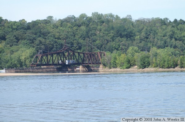
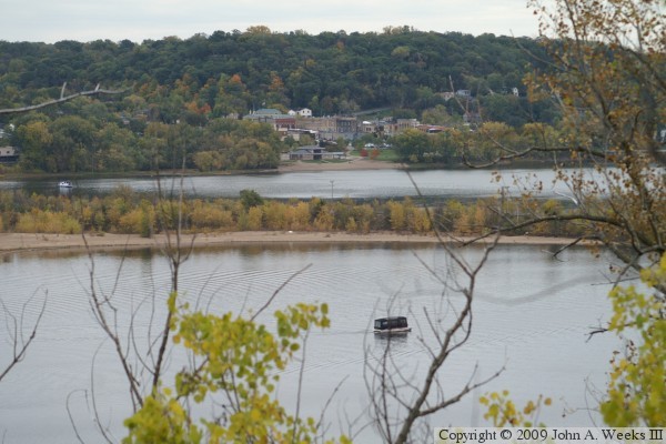
The photo above was taken from the old US-12 causeway that is part of the
old highway toll bridge that once connected Minnesota and Wisconsin. The
view is looking northwest towards the Minnesota shore on the west side of
the river. The photo below is looking north towards the swing span as
seen from a riverside park on the Minnesota side of the Saint Croix River.
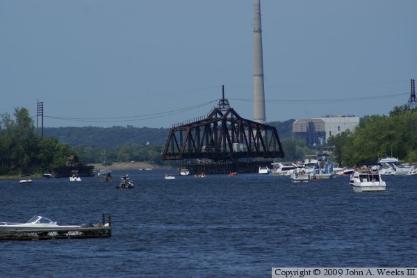
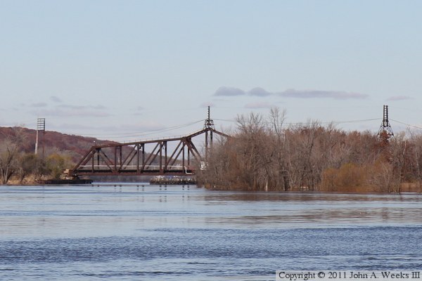
These two photos are views looking southeast from the edge of the river
bluffs just off of Minnesota highway MN-95. The photo above is the swing
span, which is in the open position. The photo below are the two fixed
bridges spans. The larger is a through truss, while the shorter span is
a pony truss. The land directly behind the bridge is a natural sandbar.
The causeway in the background is the roadway leading to the old US-12
toll bridge.

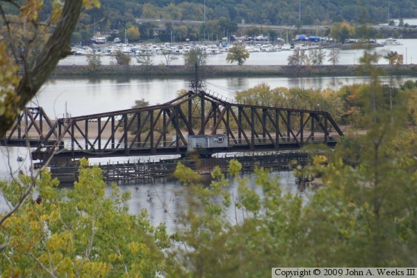
These two photos are more views from the river bluffs on the Minnesota
side of the river. The photo above is an overview of the bridge spans.
The photo below is a view of the railroad causeway leading leading to
the bridge from the Wisconsin side of the river.
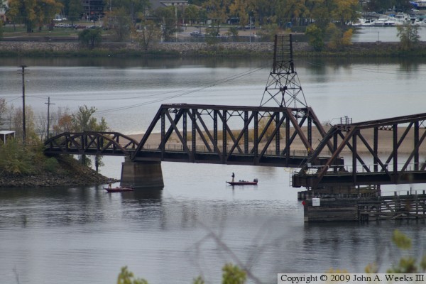
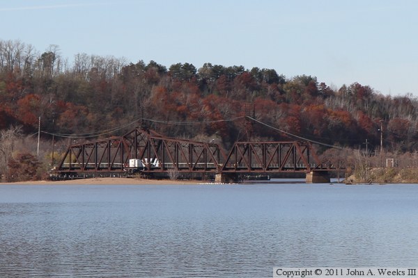
These two photos are views of C&NW Railroad bridge at Hudson as seen from
the Walnut Street Causeway. The causeway leads to the site of the old Toll
Bridge that once carried highway US-12 over the Saint Croix River. The photo
above is a view looking north at the west end of the swing bridge, which
crosses the river navigation channel. The photo below is looking northwest
towards the swing span and the two smaller truss spans at the east end of
the structure. The bridge is a little hard to see in this view given that
the late fall background is nearly the same color as the bridge structure.
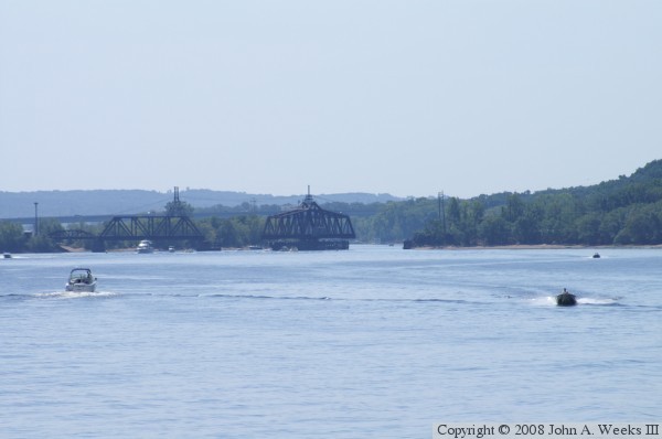
The photo above is the north side of the C&NW bridge as seen from the
marina that is located about a mile north of the bridge. The photo below
is a smaller side channel bridge on the Wisconsin side of the river crossing.
It carries the railroad mainline into the north end of Hudson, where it
will gradually climb out of the Saint Croix River valley and head towards
Roberts, Hammond, Baldwin, and Menomonie.


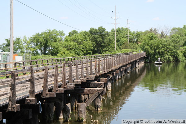
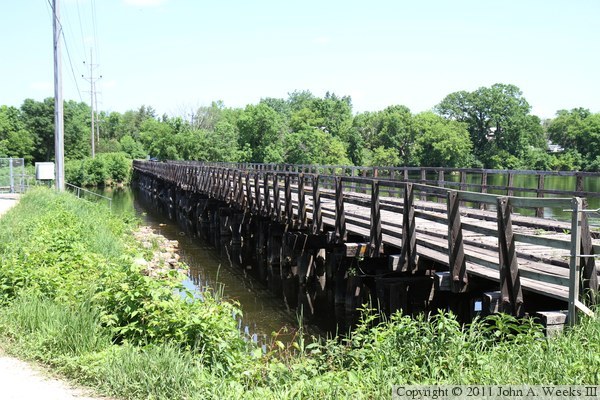
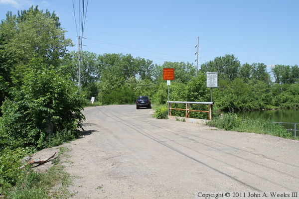
These two photos are a road bridge on Saint Croix Street leading to an
island in the river where the railroad once had Y-track. At one time,
this was a railroad trestle, but is now used as a driveway leading to
the railroad property on the island. The photo above is looking west
down the length of the bridge, while the photo below is looking northwest
towards the south face of the structure.

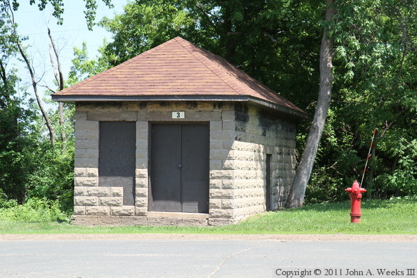
The photo above is a building located at the east end of the railroad trestle
on Saint Croix Street. This building might have been an old railroad
building, but I suspect that it is likely a well house for the city of
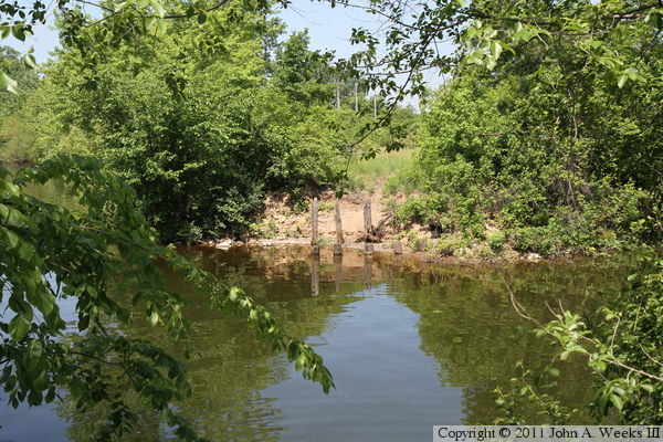
Hudson. The photo below are the remains of a trestle located just south of
the bridge on Saint Croix Street. This branch of the railroad crossing over
the Saint Croix River once fed a route heading to River Falls, Wisconsin.
These two photos are an old railroad trestle on yet another branch of the
Saint Croix River railroad crossing. This one leads north from the Y-track
at the east end of the river crossing. This bridge crosses the mouth of
Lake Mallalieu where it flows into the Saint Croix River. This line led
to industries in North Hudson, and may possibly have headed north out of
the city. The photo above is looking north along the east side of the bridge,
while the photo below is looking north down the length of the bridge deck.

These two photos are additional views of the railroad bridge over the
mouth of Lake Mallalieu. The photo above is looking north along the
west side of the bridge. The photo below is looking northwest towards
the east side of the bridge from across the lake.

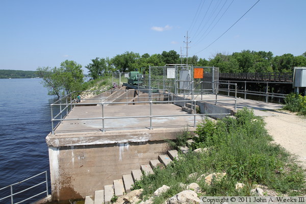
The photo above is a dam that controls the water flow between Lake Mallalieu
(to the right) and the Saint Croix River (to the left). Note the railroad
trestle just to the right of the dam. The photo below is a bridge on
Bridge Street leading to the dam. There is a small dam under the bridge,
which is another outlet for Lake Mallalieu.
|
